
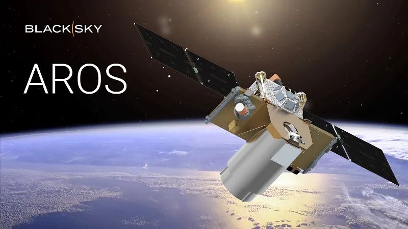
Dubbed AROS, the new satellites will support country scale digital mapping, navigation, and maritime applications, said the company.
Specifically, the new satellite design will support dynamic broad area search, change monitoring, and predictable refresh of large area and 3D mapping datasets. In terms of data collection, low-latency delivery via optical inter-satellite links (OISL) is supported for high-bandwidth tasking and downlink.
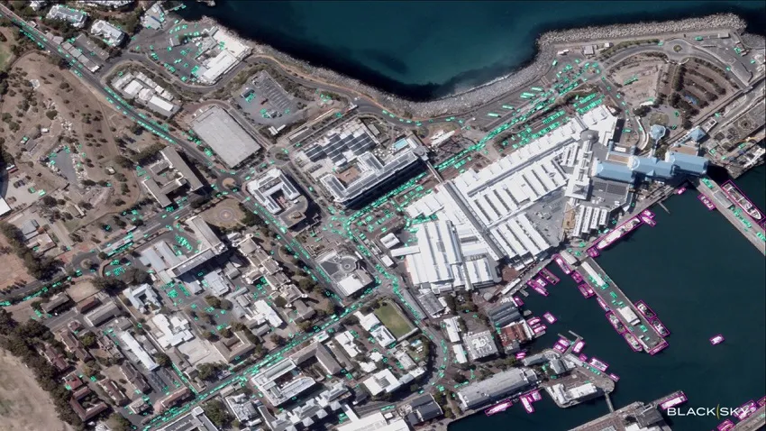 You can see an example of existing Gen-3 imagery, of Cape Town, right. AI analytics are highlighting vessels and vehicles over Victoria and Alfred Waterfront.
AI
According to the company, the satellite will “power the next wave of AI-driven geospatial and digital twin applications”.
“As legacy satellites approach end-of-life, we see a critical opportunity to address market needs—not just in performance and agility—but also in affordability and AI-readiness,” said Brian O’Toole, the company’s CEO.
“As confirmed through active customer and partner engagement, BlackSky is meeting the modern demands of governments and commercial users who need persistent visibility over very large areas, fast.”
BlackSky
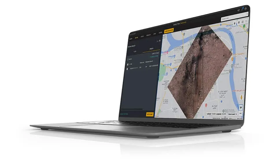 The AROS satellites are due to launch from 2027. They will feature Spectra, the company’s AI-enabled real-time tasking and analytics platform, right.
Existing Gen-3 satellites – and more are due for launch – support 35cm resolution imagery. (NIIRS-5+)
The company’s headquarters are in Herndon, Virginia.
Image: BlackSky Technology – (top) artist rendering of the AROS Satellite
See also: Phisat-2 launch tests onboard AI for Earth Observation